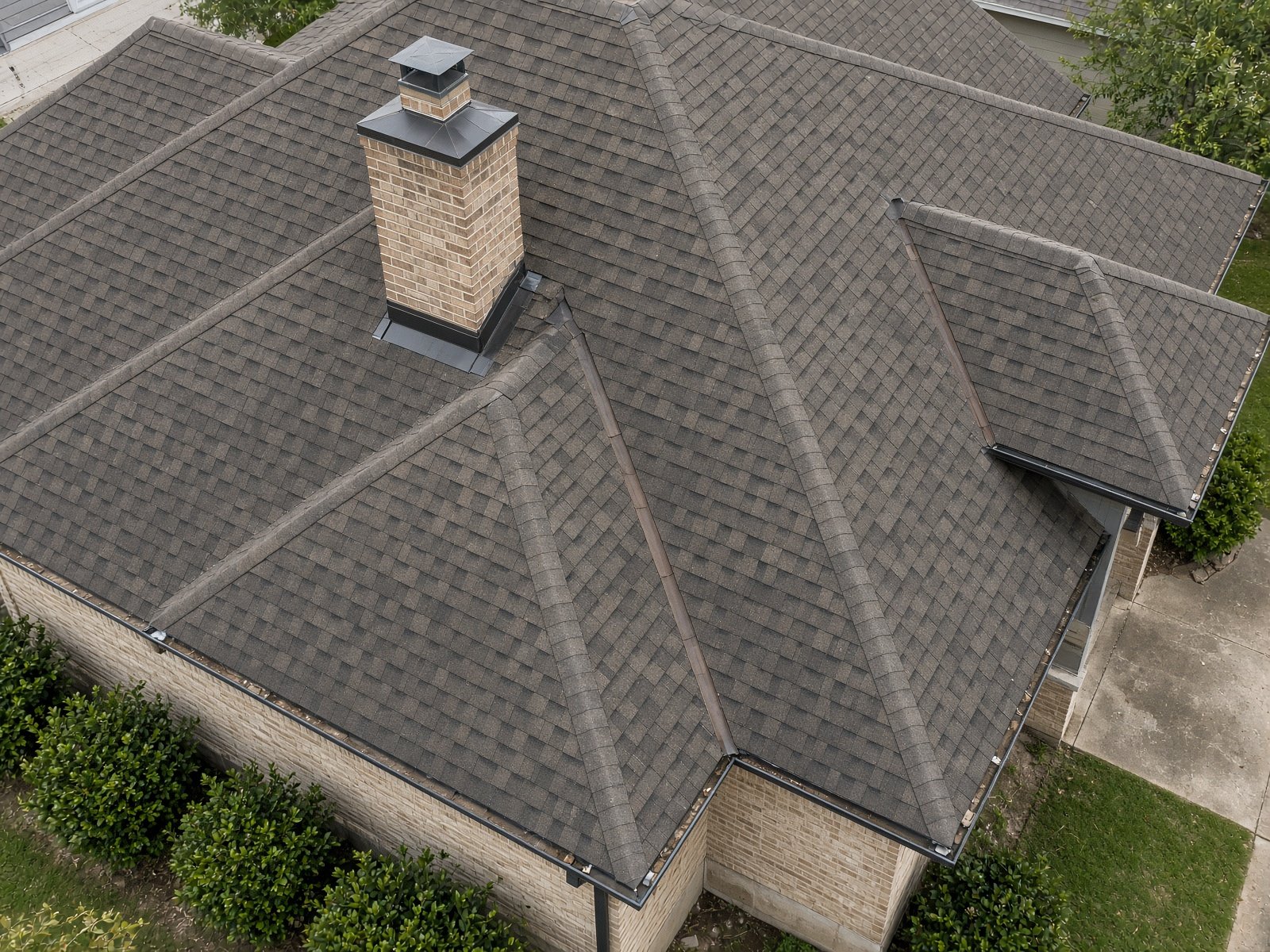
A ladder is the wrong tool for a steep roof, a hail-season claim, or an elevation a buyer wants documented before option period ends. High-resolution drone stills are the right one.
SkyBird Aerial captures roof, drainage, and elevation stills across Dallas-Fort Worth. We fly close enough to read shingle condition, valleys, flashing, and ponding — then back off for a context frame of the whole house or building.
Files are dated and named for inspectors, owners, and insurance packets. This is photography, not an engineering report: we deliver what the camera saw, clearly.
After a hail or wind event, same-week flights are available when weather allows. There is no travel fee inside Collin, Denton, Dallas, and Tarrant counties.
- Roof, gutter, and elevation stills
- Owner, inspector, and insurance documentation
- Hail and wind follow-up when weather allows
- No ladder on the house
Serving Collin, Denton, Dallas, and Tarrant counties. See coverage.