Collin · Denton · Dallas · Tarrant
SkyBird Aerial | Drone Services Dallas-Fort Worth, Texas
Still photography from the air for listings, job sites, land, and venues. Part 107 licensed, insured, and based in the Metroplex.
Part 107 licensed
FAA remote pilot certificate
Insured flights
Liability coverage on every job
48-hour turn
Typical stills delivery
Work
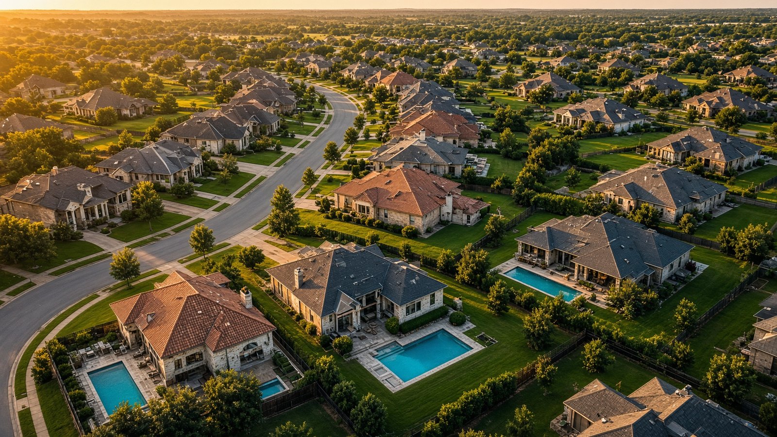
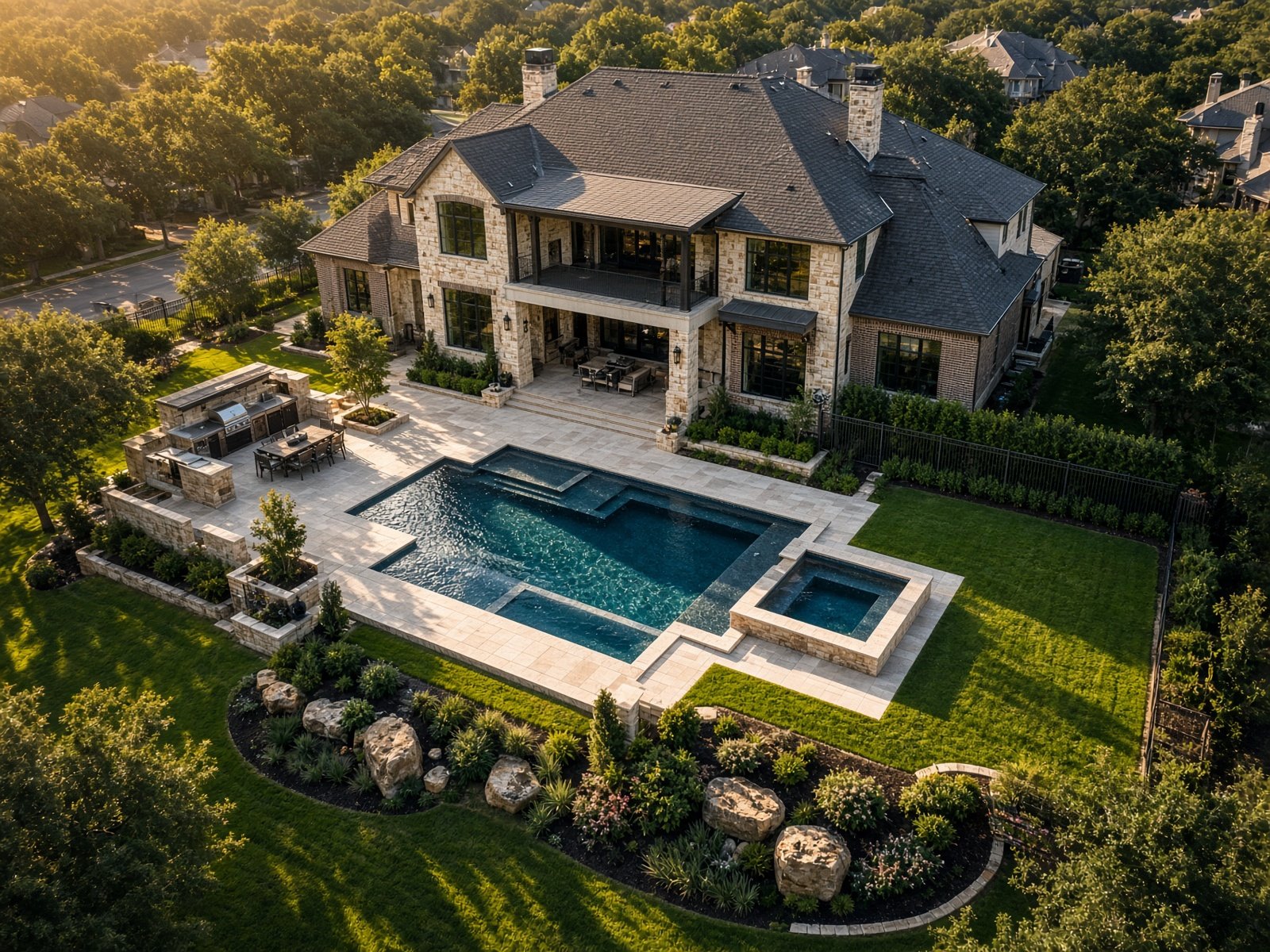
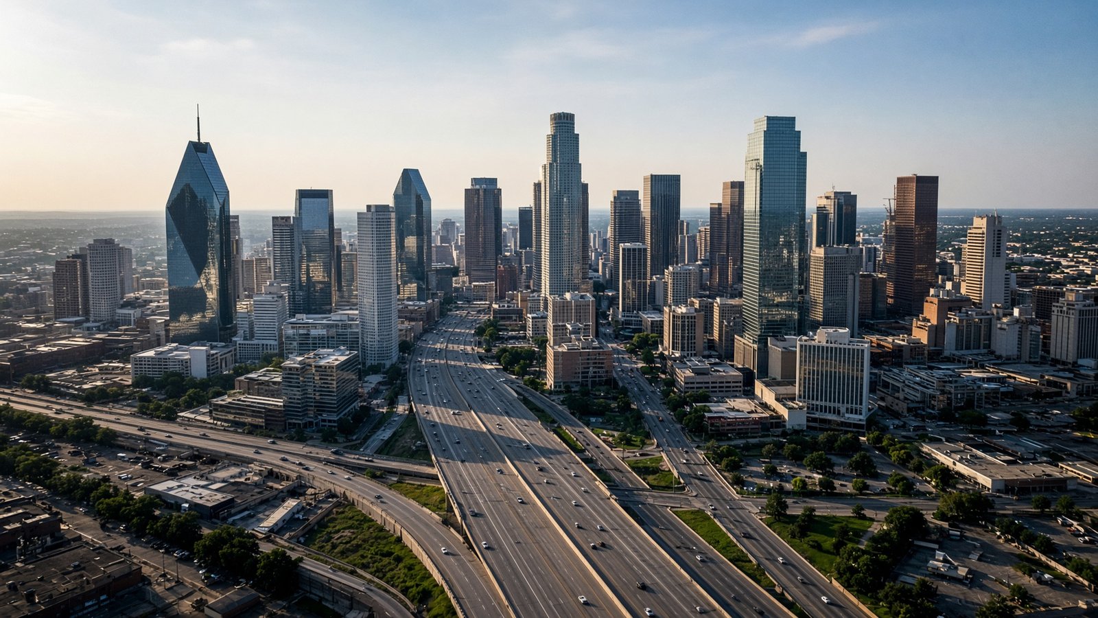
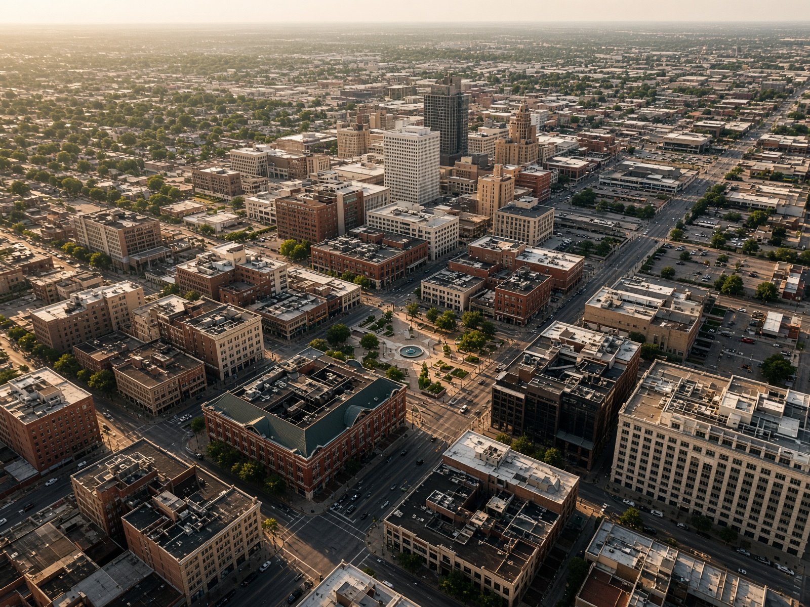
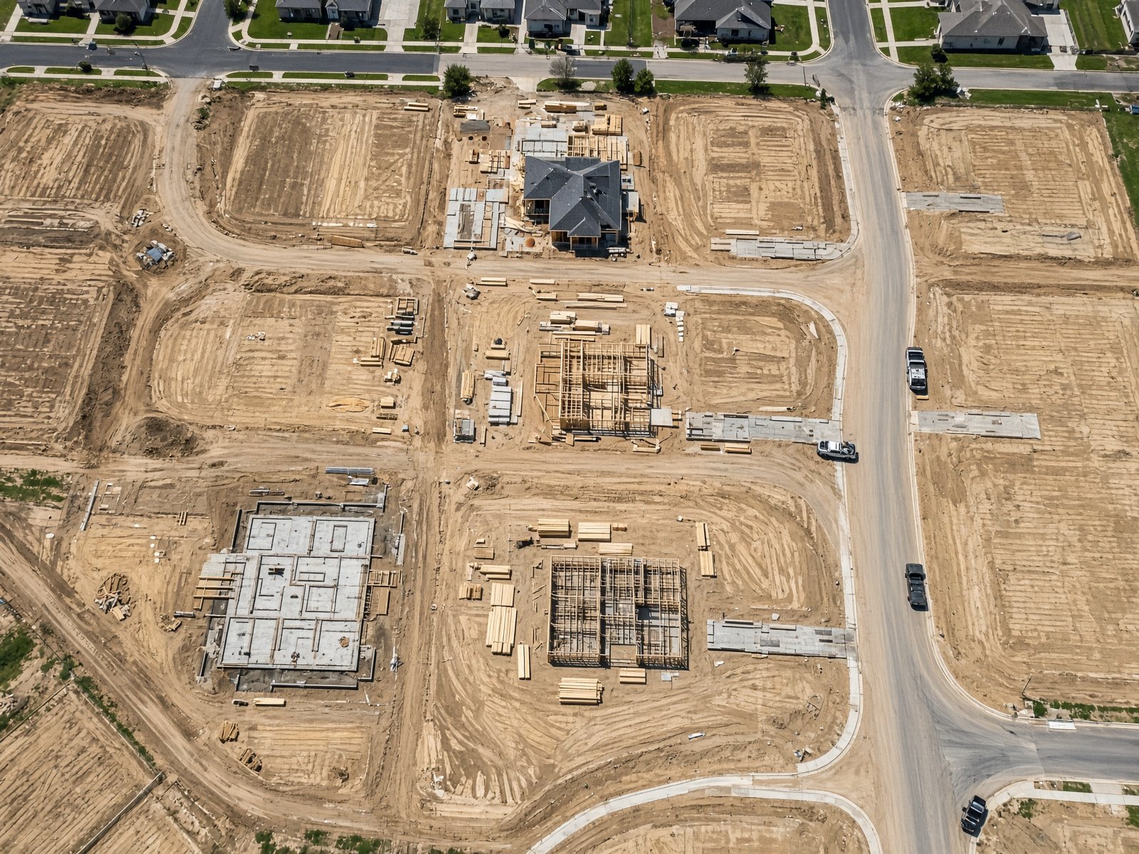
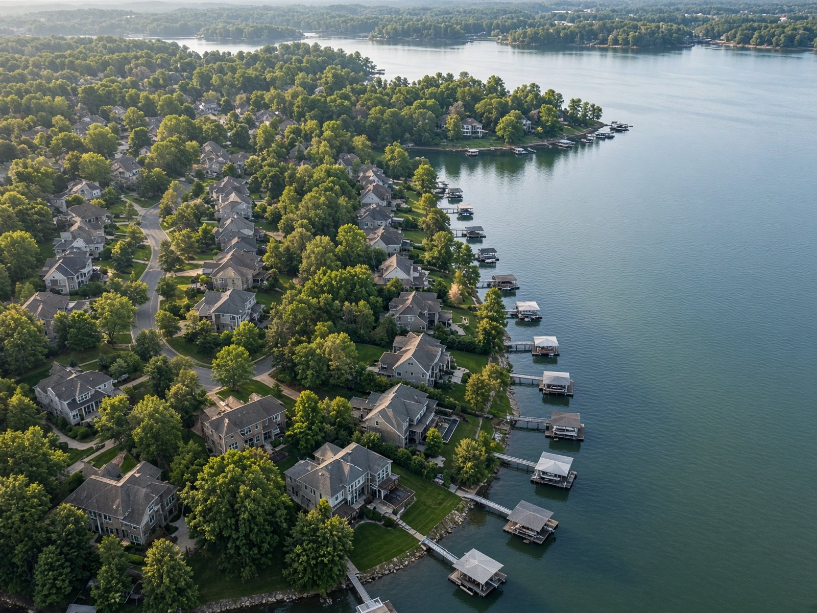
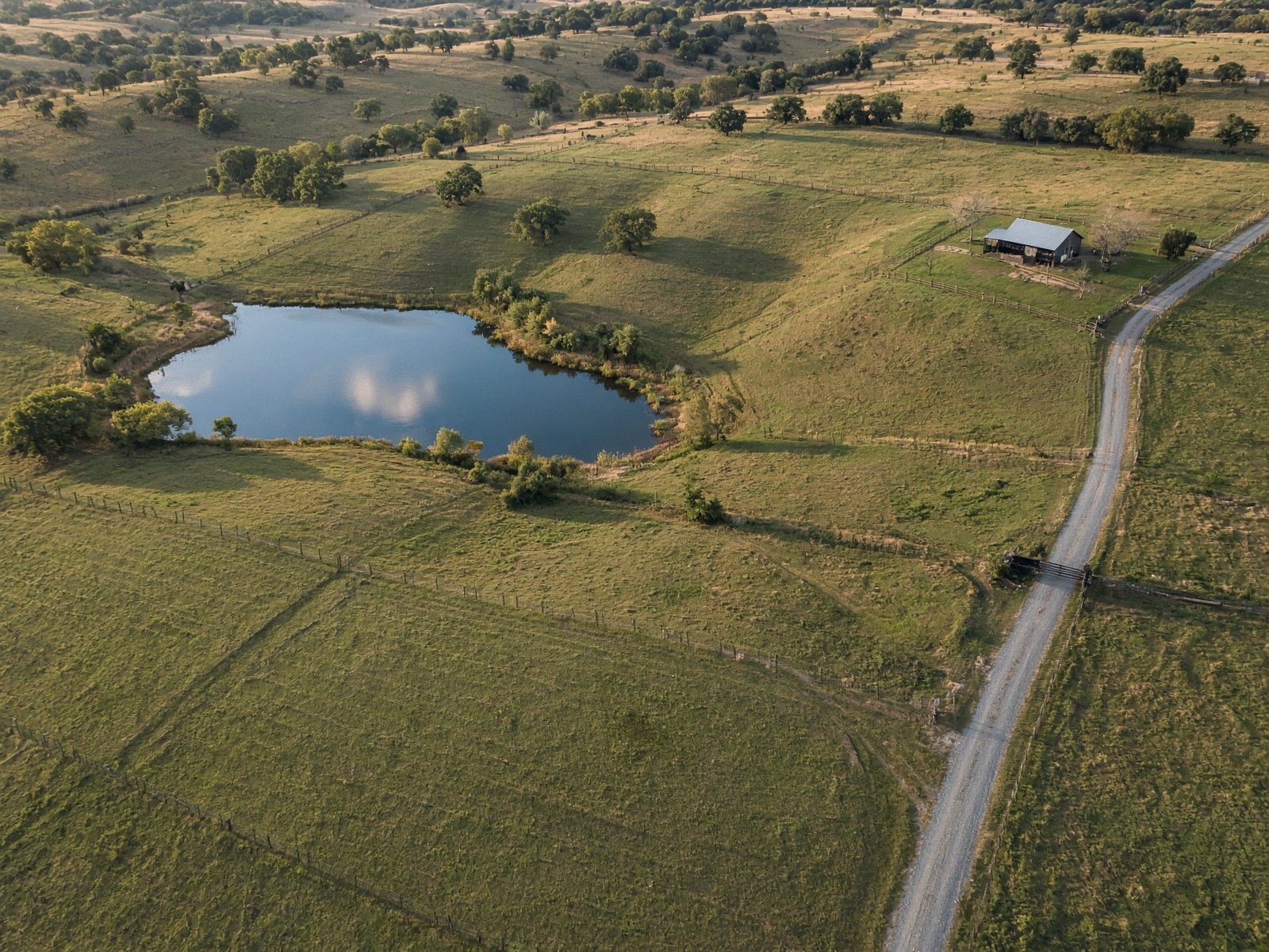
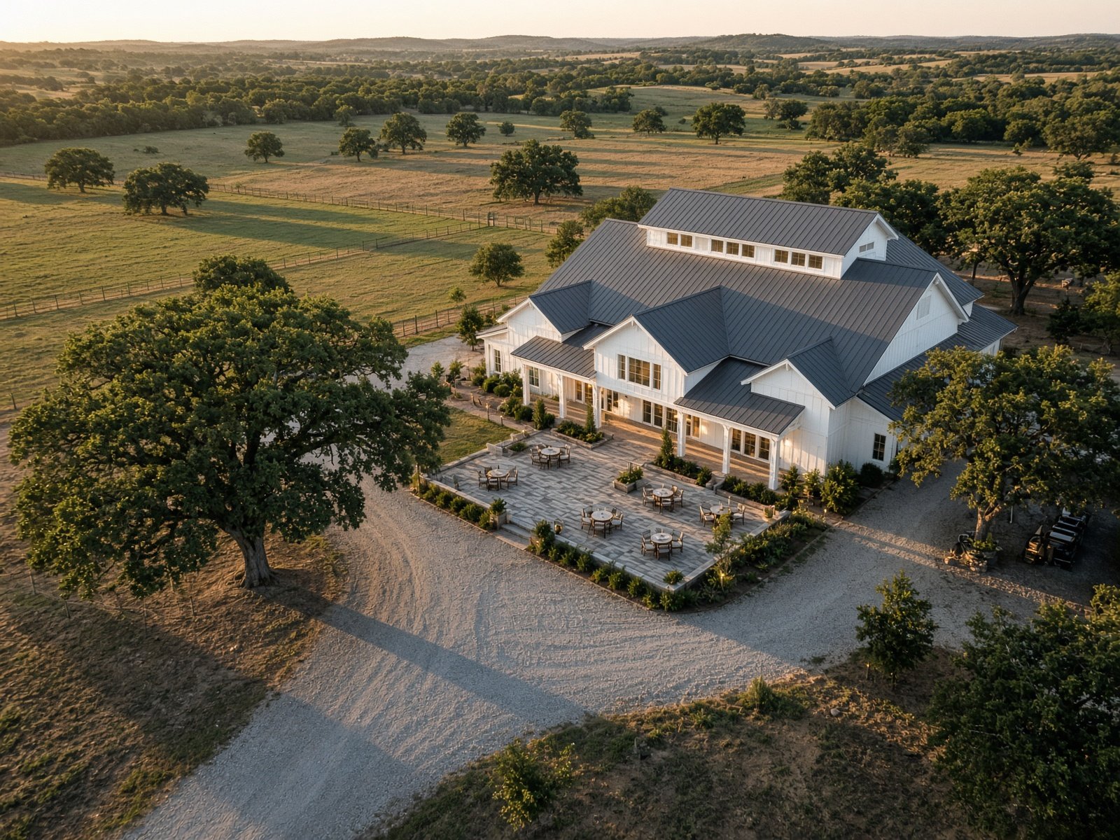
Recent stills from the four counties.
Coverage
Four counties. One flight radius.
If the property is in Collin, Denton, Dallas, or Tarrant, we fly it. No mileage surcharge inside the four-county ring.
Collin County
McKinney, Plano, Frisco, Allen, Prosper, Celina, Wylie, Richardson
Master-planned neighborhoods, new construction, and lake communities.
Denton County
Denton, Lewisville, Flower Mound, The Colony, Little Elm, Argyle
Waterfront lots, ranch land, and fast-growing suburbs.
Dallas County
Dallas, Irving, Garland, Coppell, Carrollton, Mesquite
Downtown skyline, commercial parks, and in-town listings.
Tarrant County
Fort Worth, Arlington, Grapevine, Southlake, Keller, Mansfield
Fort Worth core, mid-cities campuses, and estate properties.
Services
Photographs that sell the lot, the pad, or the day.
Process
Brief. Fly. Deliver.
01
Brief
Send the address, what you need the photos for, and a timing window. We confirm airspace and weather the same day.
02
Flight
A Part 107 licensed pilot flies the property. Typical on-site time is under an hour. Neighbors stay unaware; you get a completion note.
03
Delivery
Edited stills, color-matched and web-ready, usually within 48 hours. Print-resolution files on request.
Book
Tell us the property. We'll bring the sky.
Same-week flights when weather cooperates. Send the address and what the photos need to do — we reply with a window and a flat quote.
- No travel fee inside the four counties
- Edited stills, typically within 48 hours
- Twilight and repeat-progress sets on request